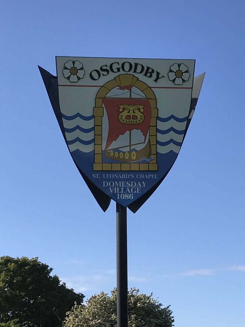
THE DOMESDAY VILLAGE OF OSGODBY
In the Domesday Book of 1086, Asgozbi is shown as laying waste at that time indicating that our village flourished long before the Norman Conquest. In 1986, a Domesday commemorative plaque was placed on Osgodby House.
From Asgaut’s Farm in Anglo-Saxon times, the village name has progressed through the ages as Asgozbi, Angotby, Osgotby, Osgodebi, Osgarby and Osgodbye as recorded on Saxton’s map of 1577 Yorkshire, to our present Osgodby.
Osgodby Hall, converted to the Barn Public House and Restaurant in 1975 and now the Poacher's Barn, was built in the 18th century, on the foundations of the original manor house built about 1275 with an adjoining chantry chapel dedicated to St Leonard. Sadly, the only surviving Renaissance window was destroyed in 1969 during a reconstruction and a similar loss at Stuart House was a stone on an outbuilding engraved 1615.
In the 13th and 14th centuries, there were forty to fifty dwellings on both sides of Osgodby Lane in the present Osgodby House area but the population declined in the 15th and 16th centuries as arable land was turned into pasture.
In the early 1900s, there were about half a dozen farms and houses in the village which increased to about one hundred in the 1920s and 1930s when building in Osgodby Lane, Filey Road and Stanley Road (now Seafield Avenue) took place.
In the mid-1960s, the Hillcrest, Bradworth and Rimington estates were built bringing the total to about 600 houses. With the Knipe Point 1980s houses and The Intake 2001 development, there are now over 700 dwellings in the village.
In 2022 planning permission was granted for a new development of 126 houses behind Rimington estate towards Cayton village.
Create Your Own Website With Webador